Skip to content

Sketches of Alaska

  • Blog
  • About Me
  • About My Art
  • Regional Galleries
  • Art for Sale
  • My Books
  • Contact Me
  • Copyright
  • Blog
  • About Me
  • About My Art
  • Regional Galleries
  • Art for Sale
  • My Books
  • Contact Me
  • Copyright
The Johnson River Bridge, built at Mile 1380 of the Alaska Highway during World War II, is a Warrren Truss bridge, 974.5 feet in length

May 16, 2022

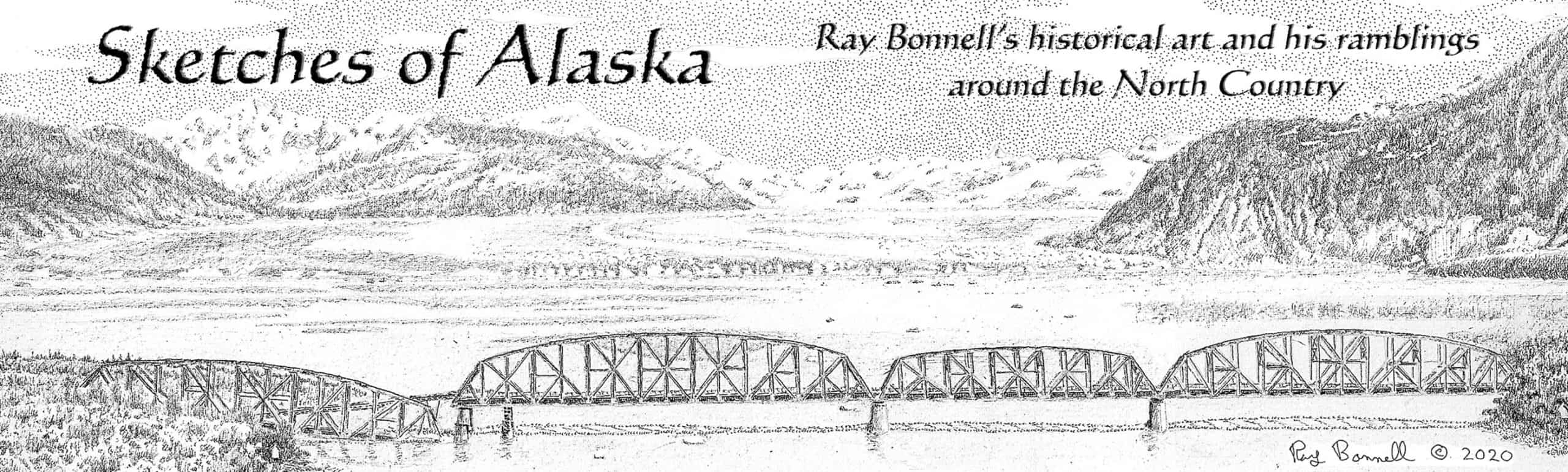
Bridges were among last items completed on Alaska Highway

The dedication of the Alaska Highway on Nov. 20, 1942, received great publicity. However, stories often paid scant attention to the actual condition of the road when it first began accepting through traffic. The...

Share this:

  • Facebook
  • Twitter
  • Reddit
  • Pinterest

Like this:

Like Loading...
1947 International KB-6 dump truck used by the U.S. Public Roads Administration on the U.S. portion of the Haines Cut-off prior to Alaska statehood

May 15, 2022

The Haines Cut-off: From Native trail to modern highway

The Chilkat Pass corridor, crossing the Coast Mountains in Southeast Alaska, connects Lynn Canal with the Kluane Lake area of the Yukon Territory. The 1977 environmental impact statement for the Shakwak Project, a joint...

Share this:

  • Facebook
  • Twitter
  • Reddit
  • Pinterest

Like this:

Like Loading...
Ray Bonnell's art show - Grange Gallery - North Pole, May 2022

May 5, 2022

May 2022 Art Show at Grange Gallery in North Pole

Share this:

  • Facebook
  • Twitter
  • Reddit
  • Pinterest

Like this:

Like Loading...
Suntrana Coal Mine near Helay, Alaska, is just a memory

April 17, 2022

Suntrana Coal Mine near Healy, Alaska is just a memory

Suntrana, near Healy, takes its name from an Athabascan word meaning “burning hills,” denoting the smoke rising from smoldering coal seams nearby. Besides Usibelli Coal Mine, the area is best-known for the old Suntrana...

Share this:

  • Facebook
  • Twitter
  • Reddit
  • Pinterest

Like this:

Like Loading...
‘Eskimo Village’ survives on Lathrop Street in Fairbanks

April 9, 2022

‘Eskimo Village’ survives on Lathrop Street in Fairbanks

During and right after World War II there was a rapid influx of people into the Fairbanks area as the U.S. military expanded its presence. With the increased demands on the Alaska Railroad during...

Share this:

  • Facebook
  • Twitter
  • Reddit
  • Pinterest

Like this:

Like Loading...
The first Paxson's Roadhouse

April 2, 2022

Marge Gull painting of Paxson’s Roadhouse

This is a painting of the first Paxson’s Roadhouse, 172 miles from Fairbanks (188 miles from Valdez). In the winter of 1905-06, Alvin Paxson operated a tent-based roadhouse near Isabel Pass, along the section...

Share this:

  • Facebook
  • Twitter
  • Reddit
  • Pinterest

Like this:

Like Loading...
Ladd Field near Fairbanks grew rapidly during World War II

April 1, 2022

Ladd Field near Fairbanks grew rapidly during World War II

Ladd Field, now Fort Wainwright, began as an Army Air Corps cold weather testing facility. Initial operations began in September 1940 even though the only portion of the field completed by then was the...

Share this:

  • Facebook
  • Twitter
  • Reddit
  • Pinterest

Like this:

Like Loading...
The Fageol Safety Bus and the Denali Park Road

March 29, 2022

The Fageol Safety Bus and the Denali Park Road

Buses have ferried Denali National Park and Preserve (originally Mt. McKinley National Park) visitors into the park for more than 80 years. The Fageol Safety Bus shown in the drawing (the most modern bus...

Share this:

  • Facebook
  • Twitter
  • Reddit
  • Pinterest

Like this:

Like Loading...
False-front wall is only remnant of gold rush-era Dyea still standing

March 27, 2022

False-front wall is only remnant of gold rush-era Dyea still standing

The townsite of Dyea (from the Tlingit word Dayéi, meaning “to pack”) sits at the beginning of the Chilkoot Trail. During 1897/1898 it was a fierce competitor with neighboring Skagway, just five miles away....

Share this:

  • Facebook
  • Twitter
  • Reddit
  • Pinterest

Like this:

Like Loading...
Murphy Dome radar site near Fairbanks as it looks today. This is all that is left of a much larger radar installation dating from the 1950s. Pen & ink on watercolor paper, 8" dia.

March 25, 2022

Peaceful Murphy Dome was once a Cold War radar surveillance site

Murphy Dome, named by prospectors in the early 1900s, is a 2,930-foot-tall mountain 20 miles northwest of Fairbanks. It is the highest point in the area, and with a summit almost 2,500 feet above...

Share this:

  • Facebook
  • Twitter
  • Reddit
  • Pinterest

Like this:

Like Loading...
  • « Previous Page
  • Next Page »

Help preserve the stories of Alaska's historic sites.

Newsletter sign-up

The Colorblind Artist

  • Colorblind artists / Uncategorized

    A black and white artist in a color world

    6 May, 2012

Categories

Archives

Recent Posts

  • A Creek, a Hill & a Forty book just published
  • K-6 gillnetter is a reminder of Kenai’s long fishing history
  • Old Town section of Homer experiences a renaissance
  • Final week of “Interior Sketches III” Kickstarter campaign. Project is already fully funded – let’s keep up the momentum
  • Old depot is a monument to Seward’s survival as a railroad town
  • Alaska-related Links
  • Alaska Historical Society - Blog of the Alaska Historical Society, with timely news and historical items
  • Ink and Ice - Blog for Fairbanks-based cartoonist, Jamie Smith, creator of Nuggets comic strip
  • Northern Lights Media - Alaska-based publisher of nonfiction books about Alaska history
  • Reporting from Alaska - News and commentary about Alaska by Alaska-based journalist, Dermot Cole
  • The ExploreNorth Blog - Travel in, and history of Alaska, the Yukon, the Northwest Territories and northern British Columbia
  • Facebook
  • Twitter
  • Instagram
  • Email

Sketches of Alaska © 2025. All Rights Reserved.

Powered by  - Designed with the Hueman theme

%d